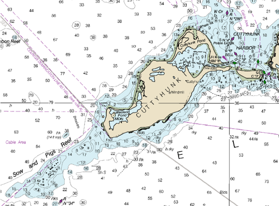
Many moons before the Internet, nautical charts were hand drawn by artists based on explorations by brave mariners. The cost of these charts was so high, that only a select few could afford them. Today, we have exceptionally accurate nautical charts for minimal cost from the National Oceanic and Atmosphere Administration (NOAA).
The NOAA nautical charts, which cover “95,000 miles of shoreline and 3.4 million square nautical miles of waters within the U.S. Exclusive Economic Zone”, are available as a free download in PDF format. You can download an entire region as a single page PDF file or a multi-page PDF file (“BookletChart”) that is formatted for standard printing. The NOAA charts are also available in printed form, for a fee, from NOAA-certified agents. I personally find the free multi-page PDF download particularly useful. 😉
The NOAA nautical are useful for boat, kayak, and surf anglers. They are an indefensible tool for navigation and identification of fish holding structures and depth transitions. If you are motoring, paddling, or walking along the coast, you can save your self a lot of fuel, time, and energy by doing some recon via NOAA Nautical charts.